|
| *****SWAAG_ID***** | 590 |
| Date Entered | 04/08/2012 |
| Updated on | 05/08/2012 |
| Recorded by | Tim Laurie |
| Category | Photographic Record |
| Record Type | General HER |
| Site Access | Public Access Land |
| Record Date | 03/08/2012 |
| Location | Arkengarthdale Moor, Dale Head Common and Stainmore |
| Civil Parish | Arkengarthdale |
| Brit. National Grid | |
| Altitude | 370m average |
| Geology | Glacial drift and blanket peat over the Main Limestone and overlying cherts, sandstones, shales, mudstones, thin limestones and coal seams all of Namurian Age. Hummocky drift at Dale Head. |
| Record Name | Arkengarthdale Common, Dale Head Common. The eastern approaches to the Stainmore Pass. An Introduction. |
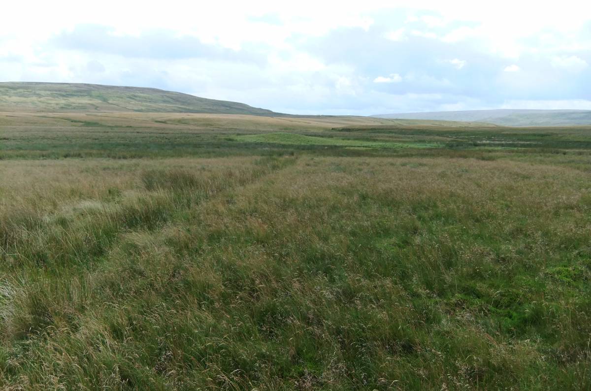
| Record Description | This record will provide a photographic introduction to an extremely interesting and, with the exception of walkers and cyclists on the Pennine Way Bowes Divertion, seldom visited areadrained by the upper tributaries of Arkle Beck. All aspects of the landscape will be included: the surface geology,the landforms, vegetation and the significant but isolated evidence for early human activity.
Additional photographs will be added from time to time.
Some Notes on the Vegetation:
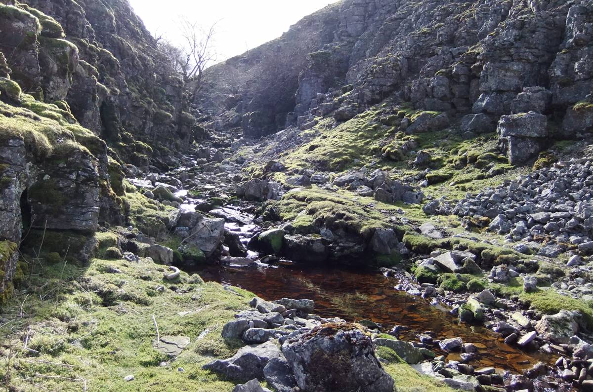
The peat infilled floor of the glacial overflow channel running south eastward from Malice End has a rich raised mire flora with cranberry. The drainage grips on this Mire have now been successfully blocked.
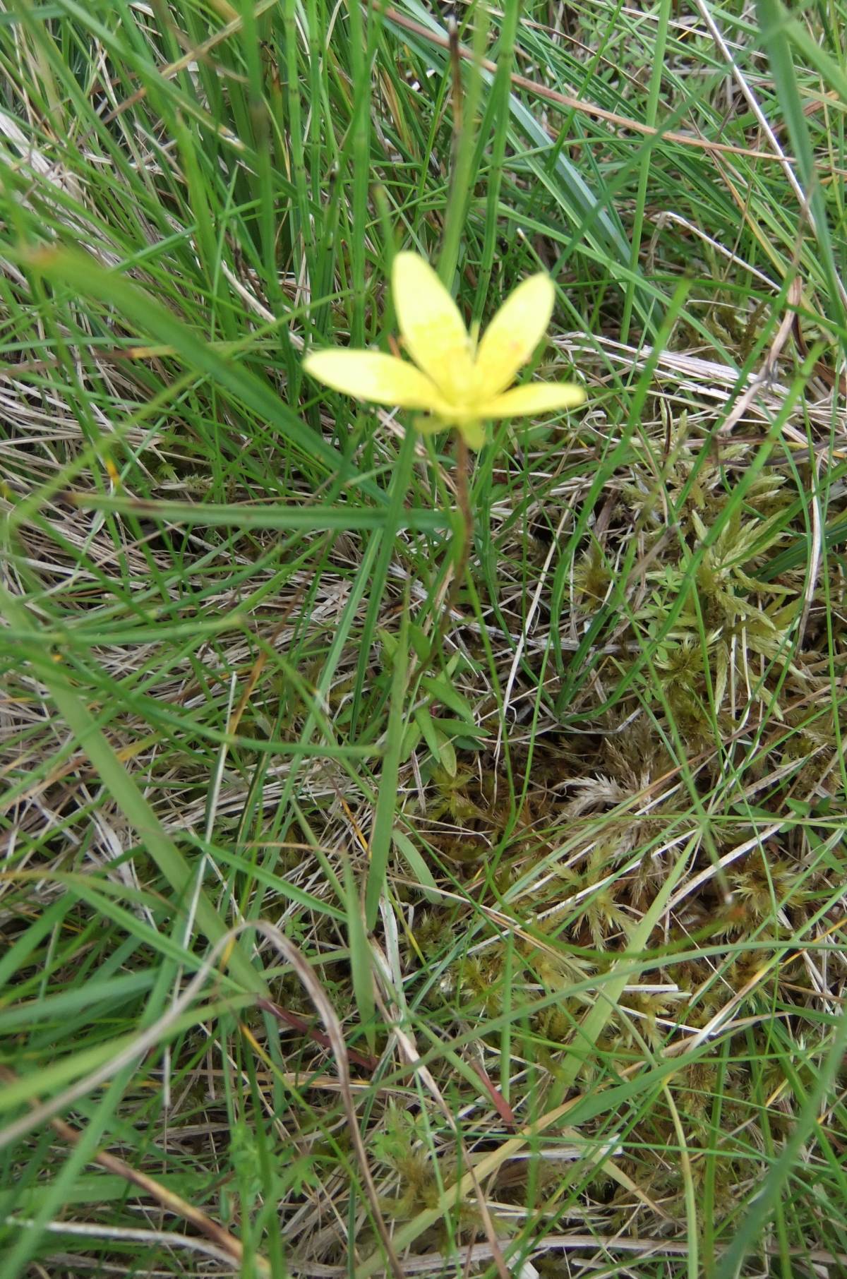
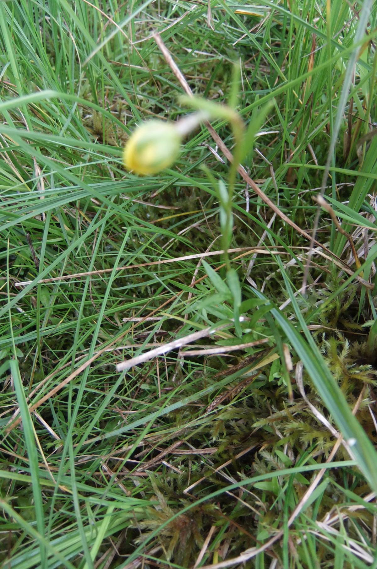
This record also confirms the discovery of the very rare RDB Listed Marsh Saxifrage (Sax. hirculus) at a previously unrecorded site. I am informed that no additional sites of this rare and fragile plant have been made in recent years. This site is the first to be recorded from Arkengarthdale and the site was recognised by the author with Mrs Linda Robinson and photographed in flower on 03 August 2012. A total of 89 shoots, 9 of which were in flower were recorded. This site is mid distant between the known populations of this species on Shunner Fell and on the high Pennine Escarpment. |
| Additional Notes | References:
OS Explorer Series 1:25000 Map OL30 Yorkshire Dales Northern and Central Areas.
British Geological Survey Sheet 40 Kirkby Stephen. Solid and Drift Edition.
Notes on the photographs:
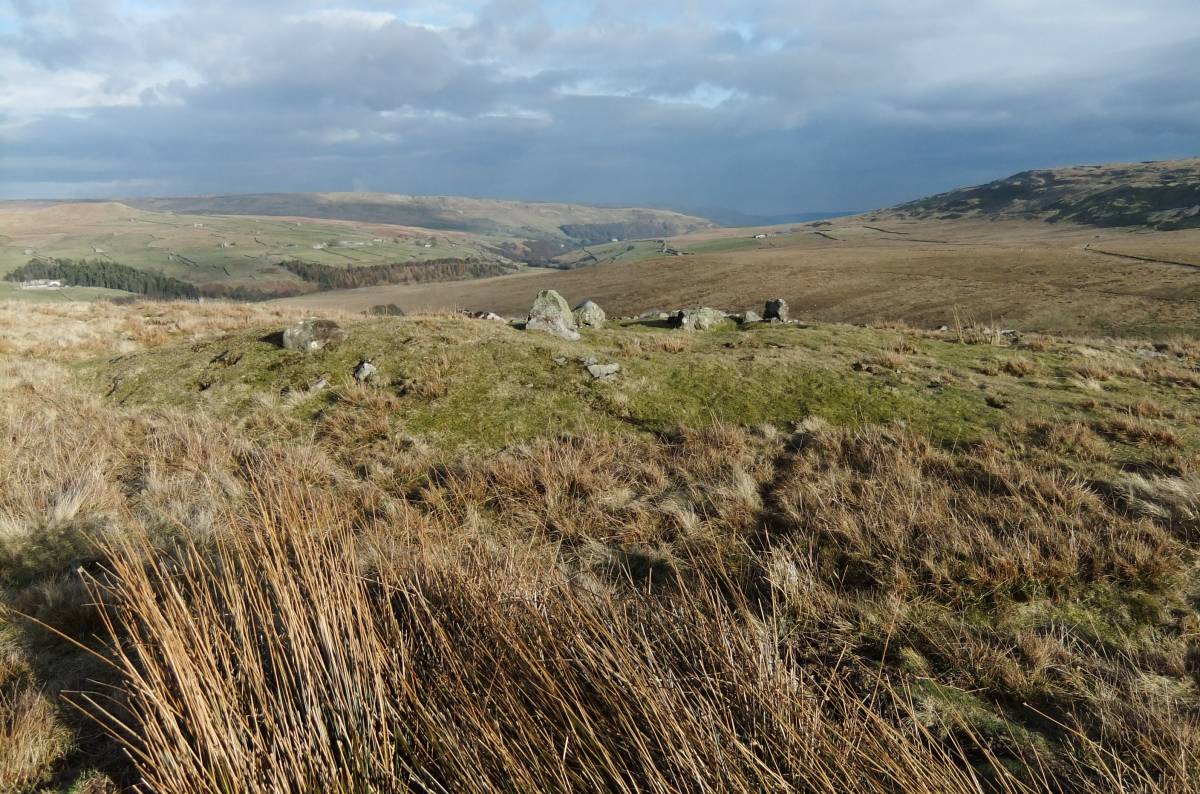
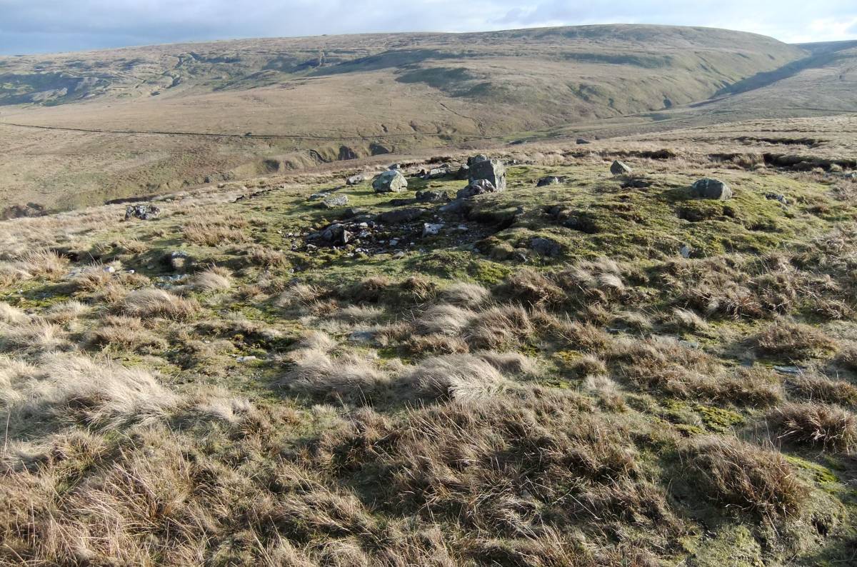
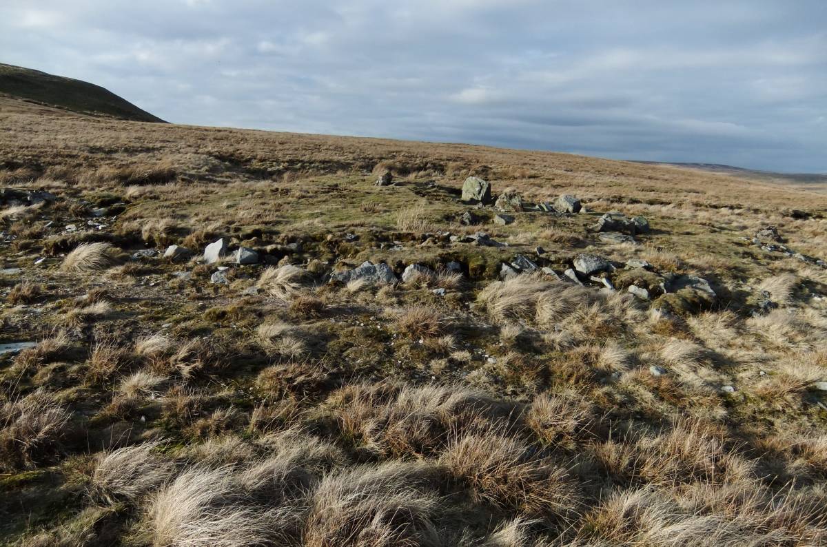
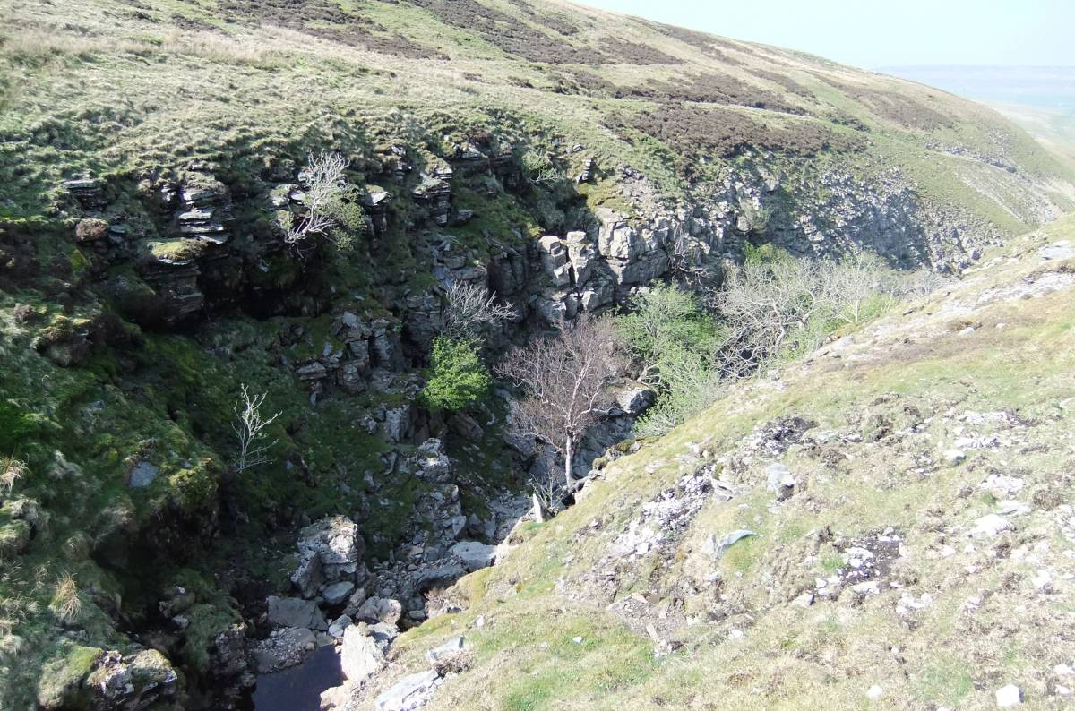
Image Nos 5-10. This great round cairn has very recently been discovered (See SWAAG Site 166). The cairn has been greatly reduced by quarrying activities and the inner circular contiguous stone kerb would originally have been concealed beneath a very substantial stone cairn.
This cairn is located at a key vantage point where views are available both northward towards Stainmore and the Vale of Eden and southward down Arkengarthdale towards the Vale of Mowbray. |
| Image 1 ID | 3202 Click image to enlarge |
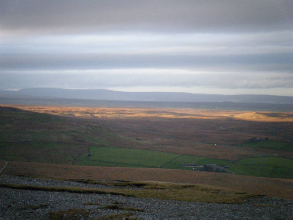
| Image 1 Description | Dale Head Common and Stainmore from Hungry Hushes, Mickle Fell in far distance.. | 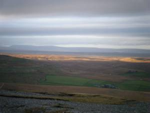 |
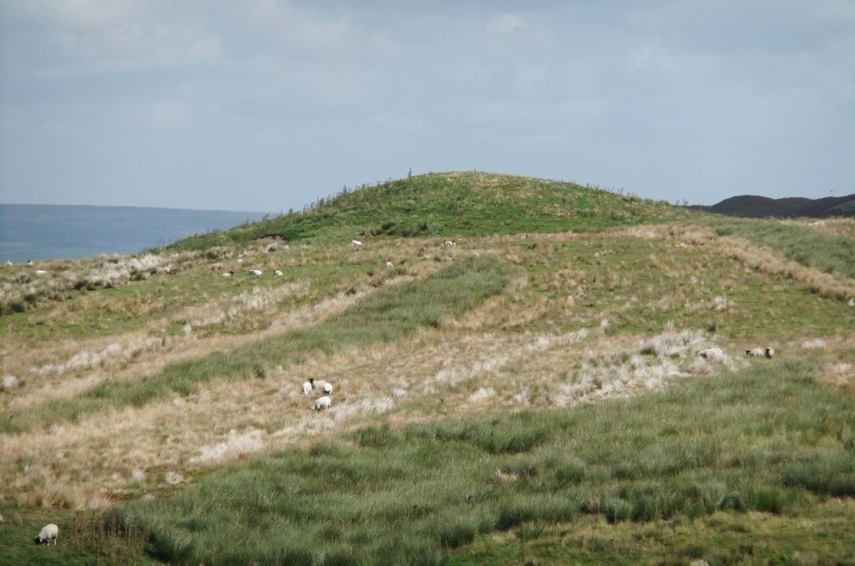
| Image 2 ID | 3203 Click image to enlarge |
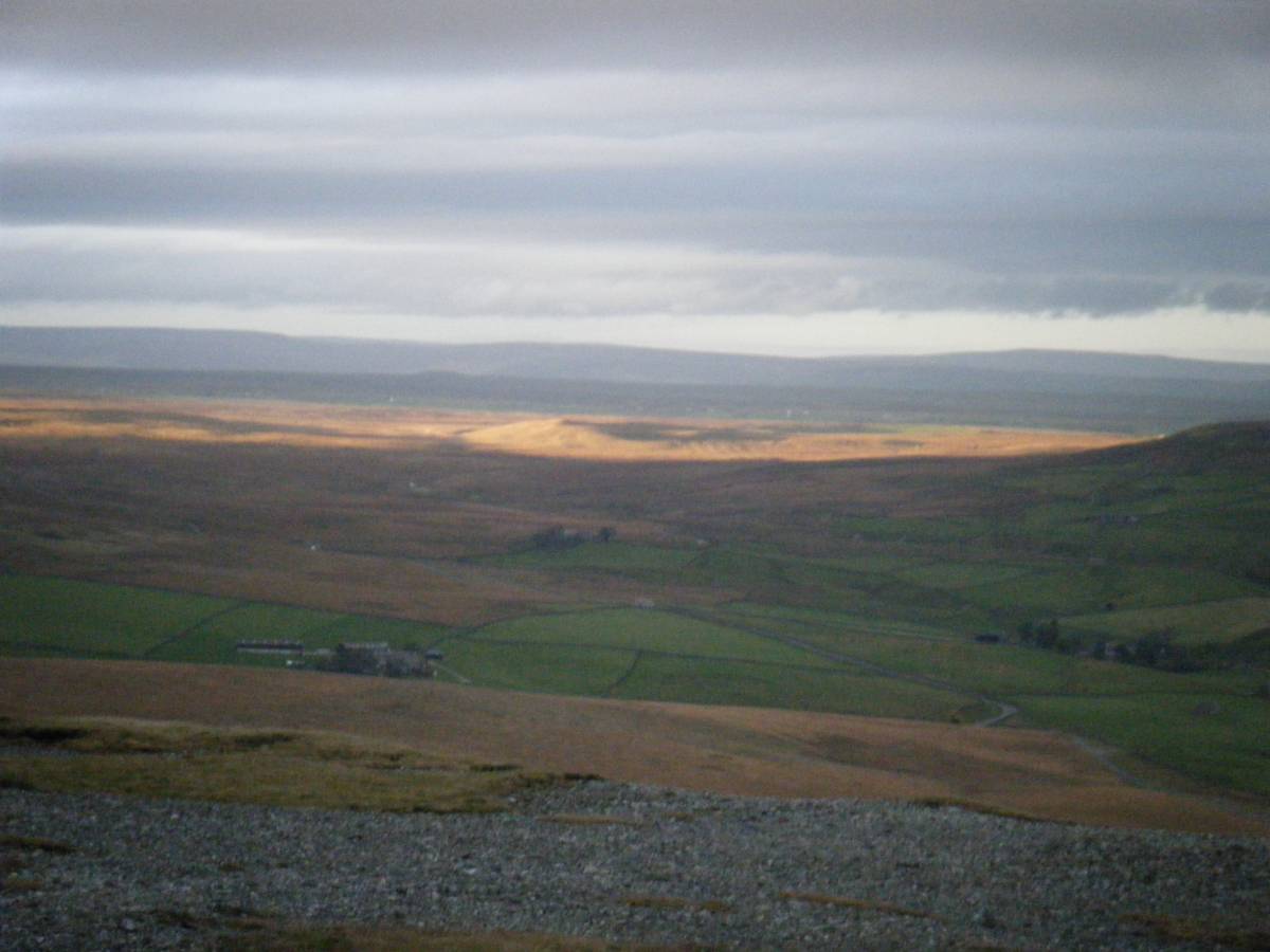
| Image 2 Description | Coney Seat Hill and Stainmore in late spring sunshine from Hungry Hushes. | 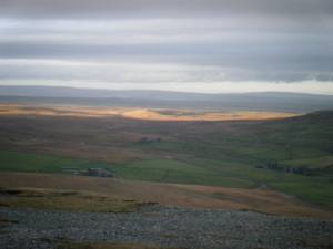 |
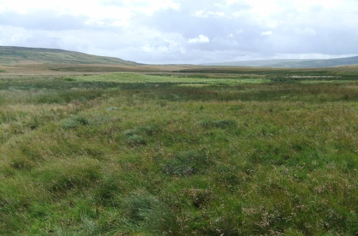
| Image 3 ID | 3204 Click image to enlarge |
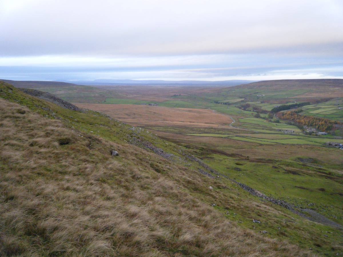
| Image 3 Description | Leading Stead Bottom and Dale Head Common from Hungry Hushes. | 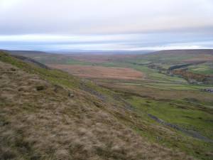 |
| Image 4 ID | 3205 Click image to enlarge |
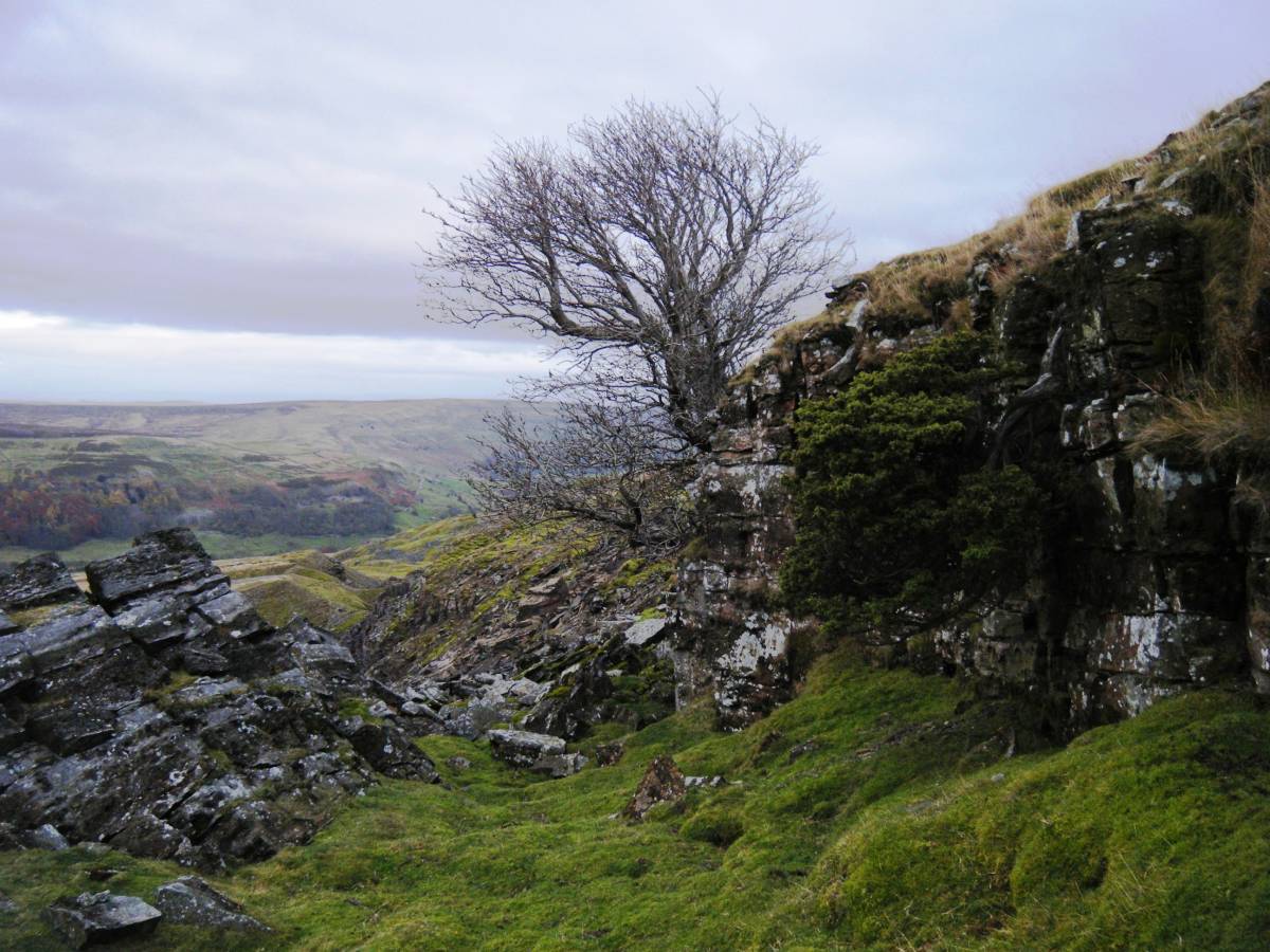
| Image 4 Description | Rowan and isolated juniper on chert strata at 320m AOD. Hungry Hushes. | 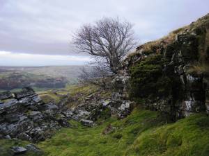 |
| Image 5 ID | 3207 Click image to enlarge |
| Image 5 Description | View northward towards Dale Head Common and Stainmore from the great round cairn (remains of) above Great Punchard Gill. | 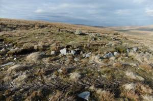 |
| Image 6 ID | 3208 Click image to enlarge |
| Image 6 Description | View southward from the Cairn down Arkengarthdale towards the Vale of Mowbray. | 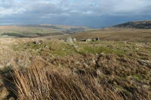 |
| Image 7 ID | 3209 Click image to enlarge |
| Image 7 Description | The Great Cairn showing the inner cairn circle exposed by quarrying. | 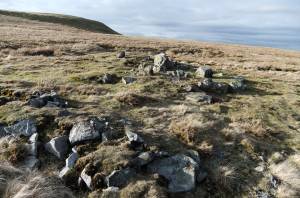 |
| Image 8 ID | 3210 Click image to enlarge |
| Image 8 Description | The Great Cairn showing the inner cairn circle | 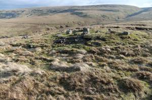 |
| Image 9 ID | 3212 Click image to enlarge |
| Image 9 Description | The Great Cairn showing the inner cairn circle | 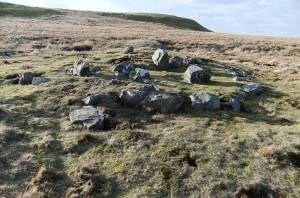 |
| Image 10 ID | 3213 Click image to enlarge |
| Image 10 Description | The Great Cairn showing the inner cairn circle | 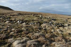 |
| Image 11 ID | 3214 Click image to enlarge |
| Image 11 Description | Dale Head. Mud Beck Springs below Cleasby Hill | 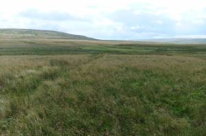 |
| Image 12 ID | 3215 Click image to enlarge |
| Image 12 Description | Dale Head. Mud Beck Springs below Cleasby Hill. Close to the interfluve between Arkle Beck and Tees/Greta. | 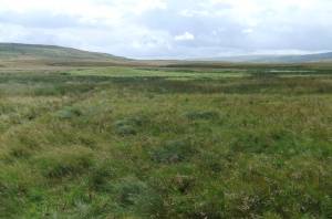 |
| Image 13 ID | 3216 Click image to enlarge |
| Image 13 Description | Archaeologists will be disappointed with this fine spring mound! The bright green of the spring mound is due to the dominant sedge, Carex rostrata. | 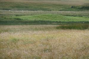 |
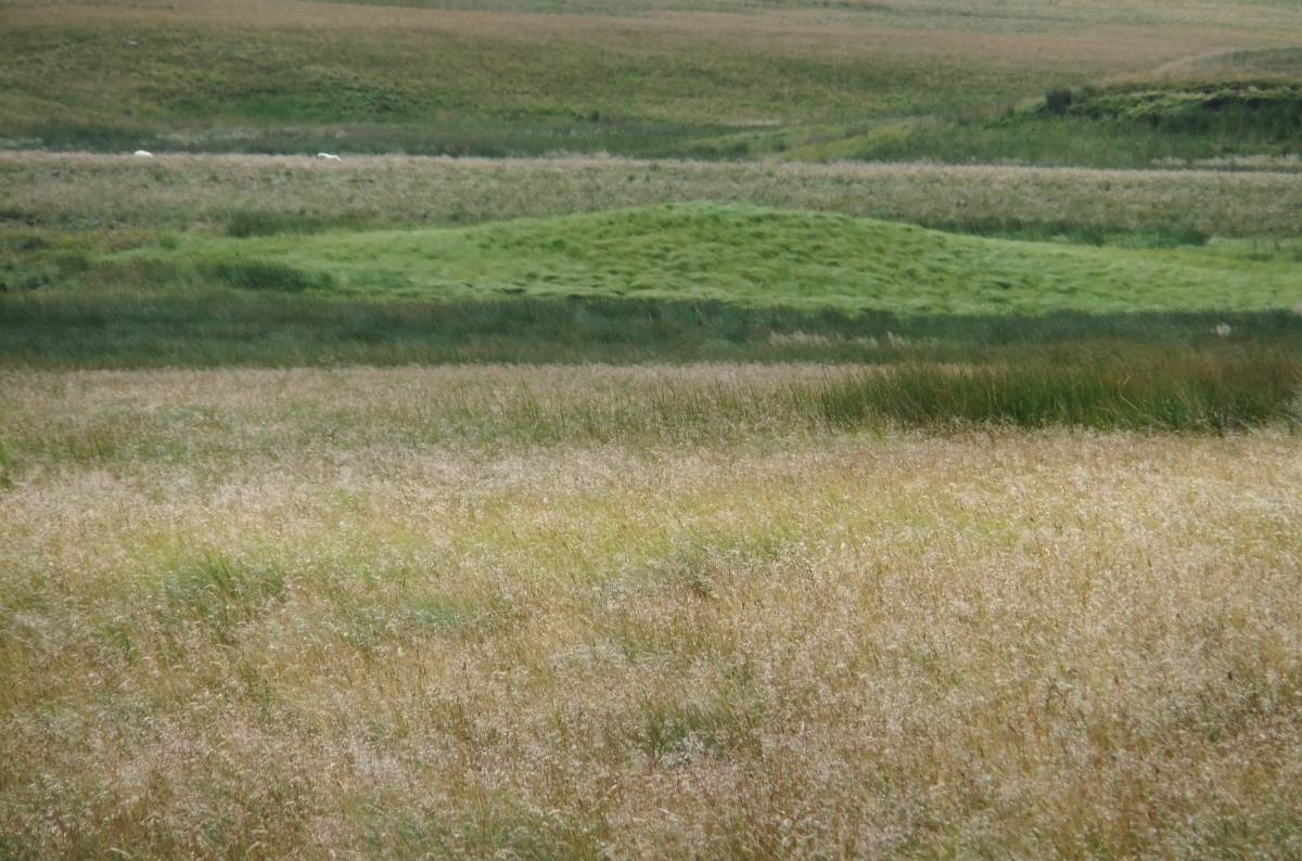
| Image 14 ID | 3217 Click image to enlarge |
| Image 14 Description | Sleightholme Farm. Charity Pasture. Archaeologists will again be disappointed with this glacial hummock. | 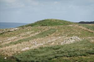 |
| Image 15 ID | 3218 Click image to enlarge |
| Image 15 Description | | 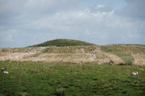 |
| Image 16 ID | 3222 Click image to enlarge |
| Image 16 Description | Dale Head. Mud Beck Springs. A source of the Arkle Beck. | 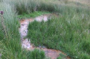 |
| Image 17 ID | 3223 Click image to enlarge |
| Image 17 Description | Primeval slime. From which we are all descended, or some of us anyway. | 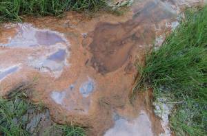 |
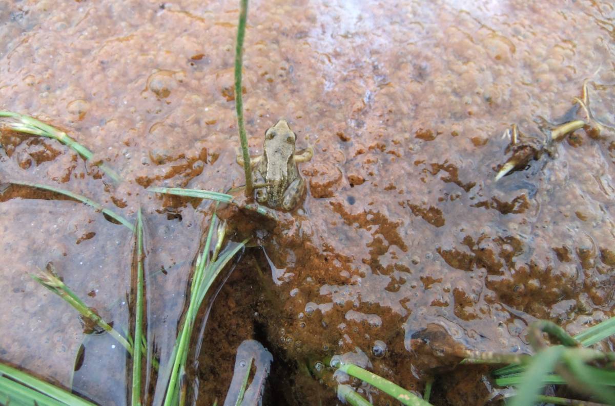
| Image 18 ID | 3224 Click image to enlarge |
| Image 18 Description | Froglet at home in the slime. |  |
| Image 19 ID | 3228 Click image to enlarge |
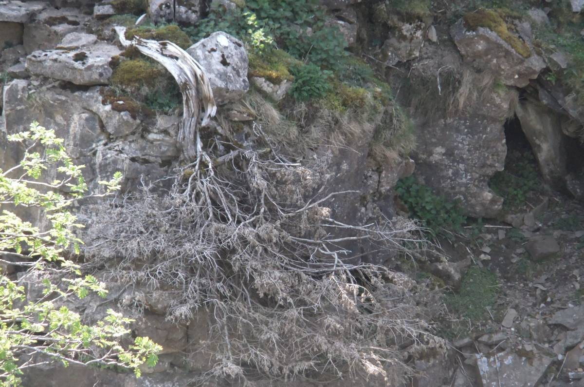
| Image 19 Description | Little Punchard Gill. Upper Ravine with Wych Elms and two isolated junipers, one recently dead |  |
| Image 20 ID | 3226 Click image to enlarge |
| Image 20 Description | Little Punchard Gill. Upper Ravine | 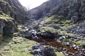 |
| Image 21 ID | 3227 Click image to enlarge |
| Image 21 Description | Little Punchard Gill. Ancient Juniper at lower end of the Upper Ravine | 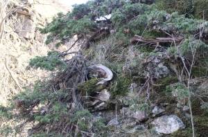 |
| Image 22 ID | 3230 Click image to enlarge |
| Image 22 Description | Little Punchard Gill. Upper Ravine. Recently dead juniper, this juniper was alive and healthy when first photographed one year previously. | 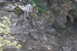 |
| Image 23 ID | 3229 Click image to enlarge |
| Image 23 Description | Little Punchard Gill. Upper Ravine | 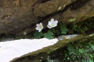 |
| Image 24 ID | 3233 Click image to enlarge |
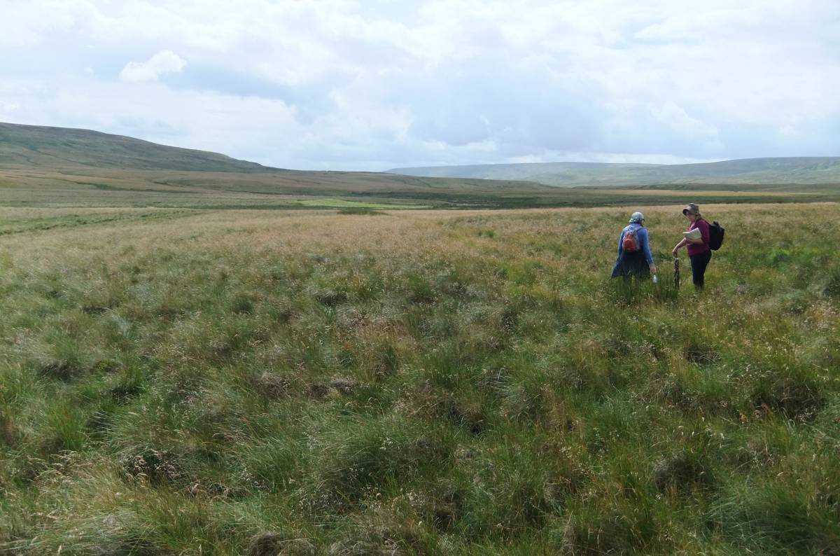
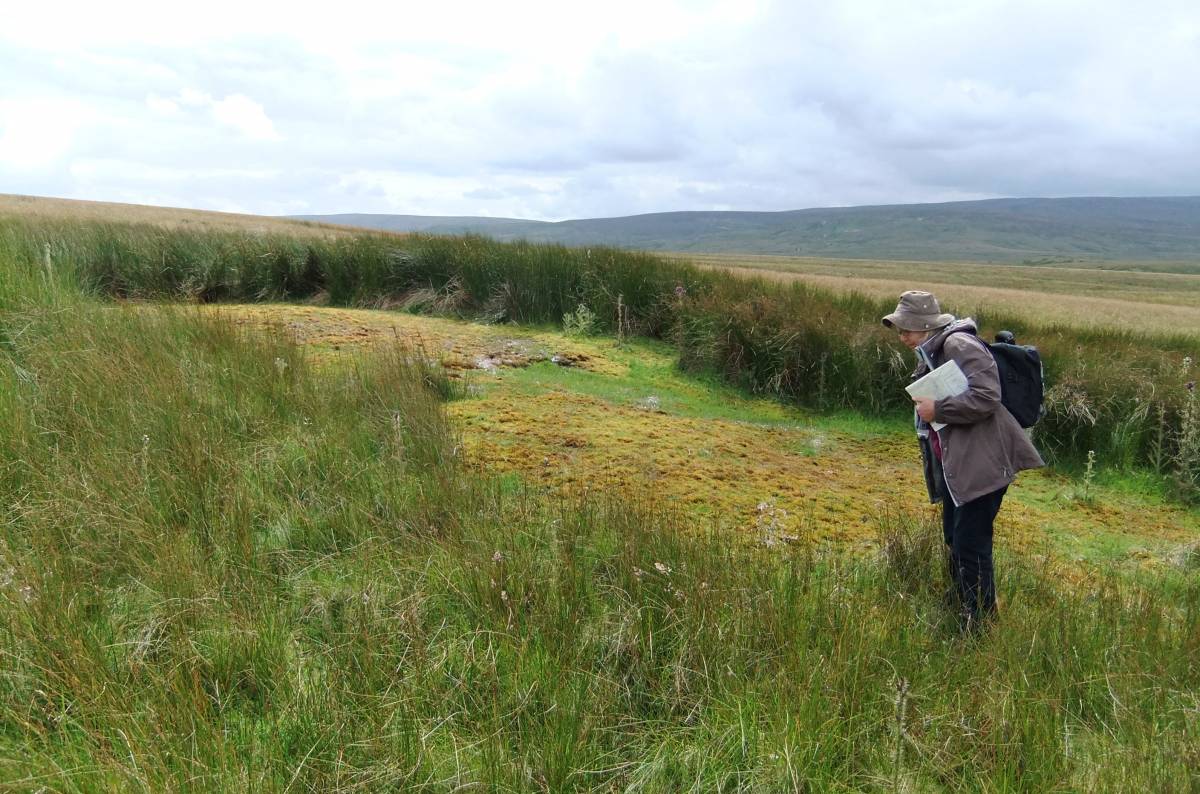
| Image 24 Description | Botanising at Dale Head Moor. |  |
| Image 25 ID | 3219 Click image to enlarge |
| Image 25 Description | Highly calcareous tufa-forming spring flush below outcrop of the Main Limestone on the lower slopes of Cleasby Hill. The spring flush is dominated by the golden Cratoneuron commutatum moss characteristic of these spring flushes. |  |
| Image 26 ID | 3220 Click image to enlarge |
| Image 26 Description | The very rare RDB listed Marsh Saxifrage (Sax. hirculus) discovered at a previously unrecorded site in Arkengarthdale by the author with Mrs Linda Robinson photographed in flower on 03 August 2012. A total of 89 shoots, 9 of which were in flower were recorded at a single locality. | 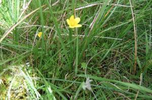 |
| Image 27 ID | 3221 Click image to enlarge |
| Image 27 Description | S. hirculus in flower 03.08.2012 |  |
| Image 28 ID | 3234 Click image to enlarge |
| Image 28 Description | S. hirculus in bud 03.08.2012 | 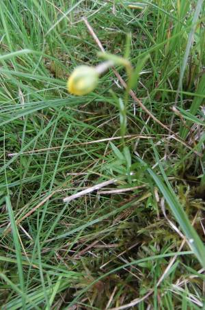 |
| Image 29 ID | 3235 Click image to enlarge |
| Image 29 Description | Surface of mire at Dale Head with massed cranberry (Vaccinium oxycoccos) | 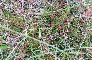 |